Philip Morris International: Satellite-Based Crop Mapping
Industry: Agriculture & Supply chain
Solution: Satellite Image Analysis for Crop Identification
Impact: Accurate crop classification and scalable land use analysis
Overview
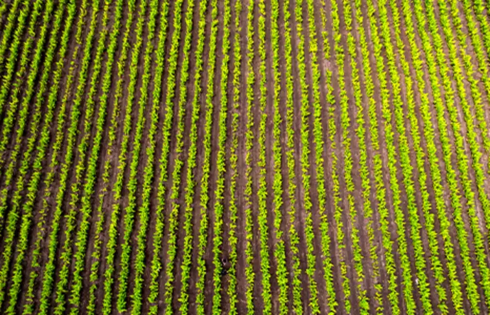
Philip Morris International (PMI) sought to explore how satellite imagery could support sustainable agriculture by identifying tobacco fields remotely and recommending better farming practices. They teamed up with Ishango to turn this vision into a working model.
The Challenge
PMI wanted to use Sentinel-1 satellite imagery to identify and measure tobacco fields in a scalable, automated way. The goal was to extract field-level insights that could eventually be applied to multiple crop types and geographies.
The Ishango Approach
The Ishango team developed a geospatial machine learning model using radar-based satellite data. The model not only classified tobacco fields with high accuracy, but was also extended to recognise broader land-use categories—like urban areas and bodies of water.
The Result
The solution opened new possibilities for leveraging satellite imagery to enhance crop monitoring, environmental analysis, and sustainable agriculture practices.
“It’s added value. The team were extremely skillful and capable, delivering the project with limited supervision.”
– Krzysztof Stec, Lead Data Scientist, PMI
|
Subscribe To Our Monthly Substack!
For research-backed Data & AI content that helps business leaders unlock value from data.